I've decided I need to share some of my experiences and opinions about bushwalking and how to enjoy it. I hope to develop this into a resource that I can enjoy, and hopefully others can too. I'm going to share some trips I do, whether day trips or longer, and if i don't get out often enough I might have to go and revisit some older trips I've done. I might even venture into discussion of gear I use ( or would like to use) as any bushwalker knows you can't have to much gear.
Well...here goes.
November was a great month as I finally got to go bush again after 18 months with no adventures. This one happened because I had annual leave when my wife's school needed an extra helper for a school camp. I only had to be prepared to accompany 15 boys aged 14-15 years old.
The camp took place over 5 days following a circuit from Mt Loch, near Mt Hotham, across the Bogong High Plains to Cope Hut then back to Mt Feathertop and home.
Day 1
Due to a long drive on the first day we had a late start but good weather so walked from Mt Loch carpark to Dibbins Hut.
 |
| Mt Feathertop from Mt Loch carpark |
We had fantastic views of Mt Feathertop as we started but these were soon lost as we started past Derrick hut and on down Swindlers Spur to Dibbin Hut. Thankfully, these were replaced by equally impressive views as the weather started to turn grey (but no rain yet).
 |
| View from Swindler's Spur |
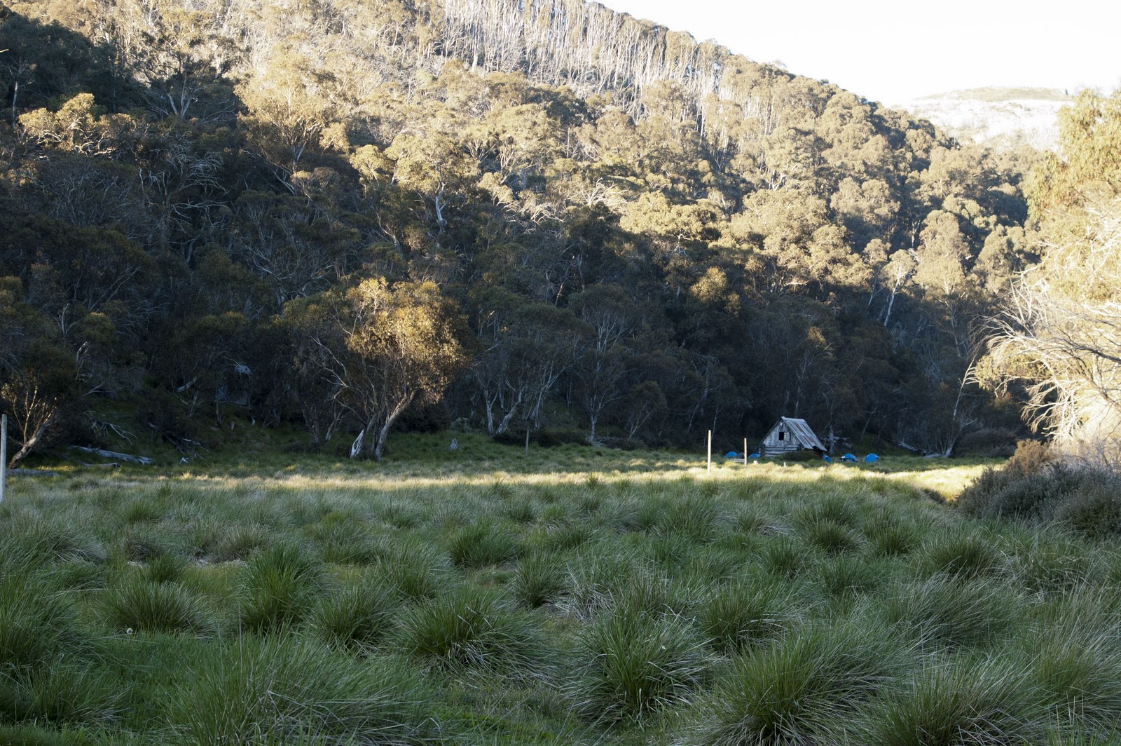
We arrived at Dibbin hut with enough daylight left to set camp and cook dinner then settle down for our first night.
 |
| Dibbin Hut |
Day 2
We woke to a beautiful morning for our climb up through Cobungra Gap to the Bogong High Plains proper.
 |
| Dibbin Hut |
It was as we started up through Cobungra Gap that disaster struck. Well, maybe not disaster but I thought t was tragic. My trusty Garmin GPS60 became detached from it's belt clip and landed in a bush somewhere. As I was only 2 kms from camp I decided to back track to camp to see if I could find it. Yep, I realise the irony of losing a GPS receiver. I suppose technically it's not lost. It probably knows exactly where it is. Needless to say, I never found it. If anyone heads down there some time and finds a Garmin GPS60, please let me know. It has a lot of memories attached to it.
I didn't let this ruin my trip as the scenery was too good so we continued on across the Bogong High Plains to Cope Hut.
 |
| Bogong High Plains |
 |
| Cope Hut |
That night saw windy weather yet a stunning view as we settled down for a well earned hot meal and rest.
 |
| The view from Cope Hut |
Day 3
Day 3 couldn't have started any different. Rain from 4:00 am saw everything well and truly drenched. Everyone had their wet weather gear but packing packs and tents in wind and rain still slows you down.
 |
| Weather blows in |
We started out a bit later today and thankfully the rain stopped after half an hour and remained dry for the rest of the day. Today was another long day (almost 20 kms) but covered some fantastic scenery.
 |
| Falls near Tawonga Huts |
We passed Weston Hut before dropping down onto the West Kiewa River for a night at Blair Hut.
 |
| Weston Hut |
Day 4
Today was to be THE day. We climb Diamantina Spur up to The Razorback. If you've ever been here you'll know why this day was to be the hardest. Diamantina Spur climes just short of 800 metres over a track length of 3.5 mms. At point the track navigates up a (thankfully) short section of almost vertical rock face(at least, it feels vertical when you've got 20 kgs on your back) that requires hands and feet to ascend.
 |
| It's hard to convey the steepness of Diamantina Spur |
The great thing about any difficult climb while bushwalking is the great view you get at the top. After struggling up Diamantina Spur we finished the day with an afternoon climb of Mt Feathertop.
 |
| Ascending Mt Feathertop |
 |
| View from the top |
Day 5
Day 5 arrived all too soon. We had a lovely day to finsh with fine weather for a short walk along The Razorback. By this stage everyone found this great way to finish along a gently undulating track full of spectacular views.
 |
| The Razorback |
We finished the week with no more than a few blisters, a couple of cut fingers, and a lot of sore feet. It was a tough walk, particularly for Year 9 students, but what a fantastic week we had.
 |
| Mt Feathertop |
Well, I hope you enjoyed my first post. Hopefully this will motivate me to get out more and share my experiences. See you on the track...